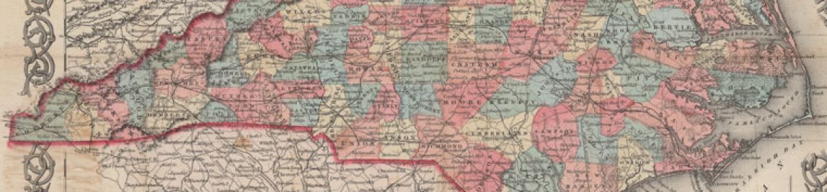
After reading this morning’s News & Observer story about the nearly-gone community of Lockville, I went looking for it in the historic maps on the North Carolina Maps site.
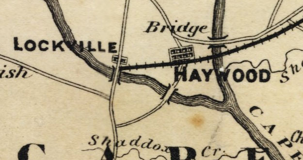
I found it first on this 1870 map of Chatham County, commanding a prominent place along the Deep River next to the now also largely-forgotten town of Haywood. This was mining country then, just to the east of the coal mine in Egypt, N.C.
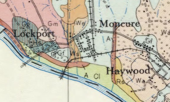
Both Lockville and Haywood faded quickly compared to the fast-rising town of Moncure. By 1933, when this soil survey was published, Lockville had changed its name to Lockport, and Haywood showed very little growth. In the meantime, Moncure, right on the Pittsboro Branch of the Seaboard Air Line Railroad, boasted three churches and a school.
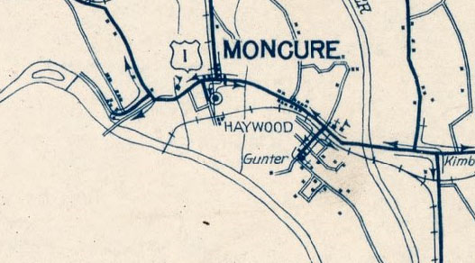
By the 1940s, as this rural route delivery map shows, Lockville/Lockport ceased to appear on maps at all.
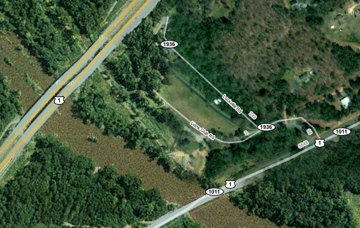
The only remaining evidence of the town — as far as maps are concerned — is Lockville Road, between two highway bridges, just downstream from the locks that gave the community its name. For more about Lockville, see this article, published in the Chatham County Line last September.