One day, I’ll look back fondly and tell my grandkids about the week I spent flooding the planet.
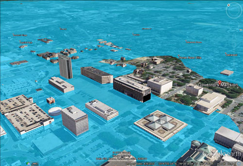
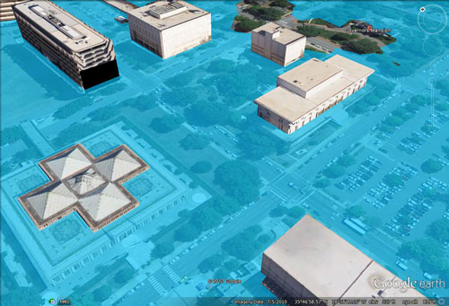
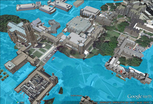
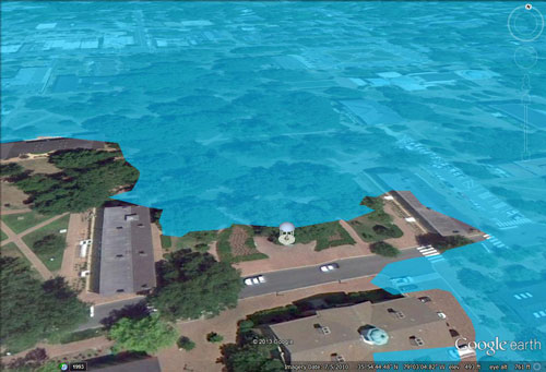
It began as a lark. For the past few months, I’ve been writing installments of a serialized science fiction novel about a world in which the oceans have risen nearly 80 meters and most of the human race now lives at sea. As the characters in my story ventured closer to shore, I realized I needed a simple way to visualize what that world would look like. I took to Google Earth and Inkscape—both free, readily available software packages—and simulated 80 meters of sea level rise. The results were stark, post-apocalyptic images of city skylines, submerged. Los Angeles was completely inundated south of the financial district. In D.C, only the Washington Monument rose above the encroaching Potomac. Telegraph Hill was an island in the expanded San Francisco Bay. North Carolina was a warm, shallow sea stretching from the Outer Banks to Rocky Mount. Florida was gone.
–Duke-trained marine ecologist Andrew David Thaler from “Why I Drowned L.A. and the World”. Thaler, the editor in chief of “Southern Fried Science”, offered instructions on “How to Drown Your Town.”