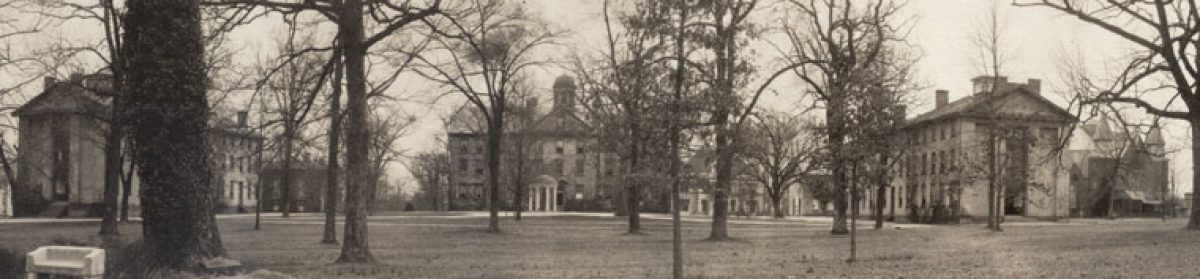
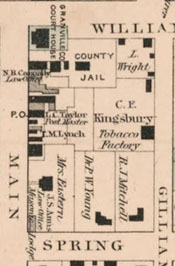
Among the recent additions to the North Carolina Maps project are several excellent detailed maps of North Carolina towns published by O.W. Gray & Son in Philadelphia in the late 19th century. These maps show an impressive amount of detail of downtown areas, including the names of businesses, schools, churches, and property owners. The O.W. Gray & Son town maps now online include Wilmington, Louisburg, Monroe, Oxford, and Wadesboro.
We have an O.W. Gray map of Raleigh. It was my husband’s fathers. He was an attorney in Raleigh as well as his father. We would be happy to have you look at it, copy it. Not sure the date, but Dorothea Dis is listed as the North Carilina Insane asylum.